Showing 73–84 of 92 resultsSorted by latest
-
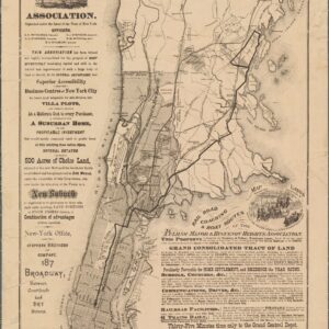
Map Showing Location of Lands Antique Nautical Map Print
Price range: $14.99 through $35.99Select options This product has multiple variants. The options may be chosen on the product page -
Map of Greater New York and Vicinity Antique Nautical Map Print to Pinterest (opens in a new window)
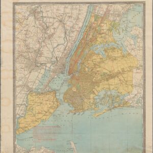
Map of Greater New York and Vicinity Antique Nautical Map Print
Price range: $14.99 through $35.99Select options This product has multiple variants. The options may be chosen on the product page -
Map Showing Suggested Connections Between Antique Nautical Map Print to Pinterest (opens in a new window)
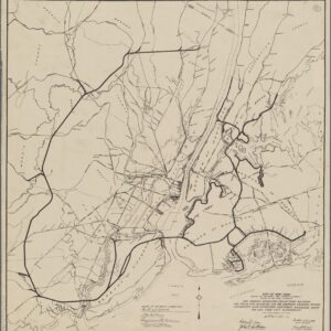
Map Showing Suggested Connections Between Antique Nautical Map Print
Price range: $14.99 through $35.99Select options This product has multiple variants. The options may be chosen on the product page -
Map of the Suburban Territory Served Antique Nautical Map Print to Pinterest (opens in a new window)
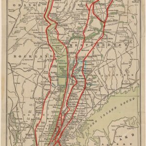
Map of the Suburban Territory Served Antique Nautical Map Print
Price range: $14.99 through $35.99Select options This product has multiple variants. The options may be chosen on the product page -
By Order of the Board of Rapid Transit Antique Nautical Map Print to Pinterest (opens in a new window)
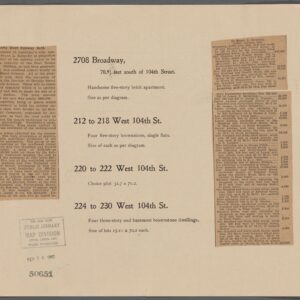
By Order of the Board of Rapid Transit Antique Nautical Map Print
Price range: $14.99 through $35.99Select options This product has multiple variants. The options may be chosen on the product page -
Preliminary Chart of the Sea Coast of Part by U.S. Coast and Geodetic Survey Antique Nautical Chart Print to Pinterest (opens in a new window)
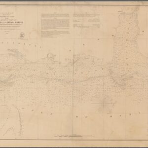
Preliminary Chart of the Sea Coast of Part by U.S. Coast and Geodetic Survey Antique Nautical Chart Print
Price range: $14.99 through $35.99Select options This product has multiple variants. The options may be chosen on the product page -
A Chart of the English Channel by Thomas Kitchin Antique Nautical Chart Print to Pinterest (opens in a new window)
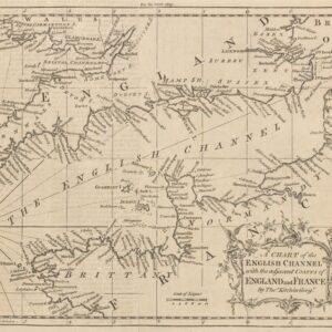
A Chart of the English Channel by Thomas Kitchin Antique Nautical Chart Print
Price range: $14.99 through $35.99Select options This product has multiple variants. The options may be chosen on the product page -
Chart of the Atlantic Ocean by Thomas Jefferys Antique Nautical Chart Print to Pinterest (opens in a new window)
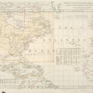
Chart of the Atlantic Ocean by Thomas Jefferys Antique Nautical Chart Print
Price range: $14.99 through $35.99Select options This product has multiple variants. The options may be chosen on the product page -
A Compleat Chart of the Coast of Asia by Richard William Seale Antique Nautical Chart Print to Pinterest (opens in a new window)
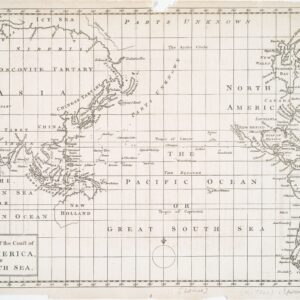
A Compleat Chart of the Coast of Asia by Richard William Seale Antique Nautical Chart Print
Price range: $14.99 through $35.99Select options This product has multiple variants. The options may be chosen on the product page -
Map or Plan of Section 22. by New York . Topographical Bureau Antique Nautical Map Print to Pinterest (opens in a new window)
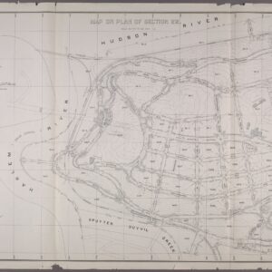
Map or Plan of Section 22. by New York . Topographical Bureau Antique Nautical Map Print
Price range: $14.99 through $35.99Select options This product has multiple variants. The options may be chosen on the product page -
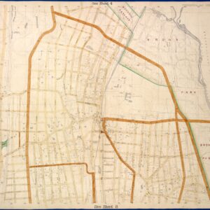
Bronx, Topographical Map Sheet 6 Antique Nautical Map Print
Price range: $14.99 through $35.99Select options This product has multiple variants. The options may be chosen on the product page -
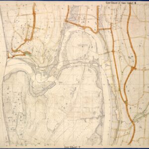
Bronx, Topographical Map Sheet 5 Antique Nautical Map Print
Price range: $14.99 through $35.99Select options This product has multiple variants. The options may be chosen on the product page


